Ierapetra, the southernmost city of Europe with the mildest climate and most hours of sunshine.
History, Archeological Museum, Citadel Kales, Old Quarter, beaches and hotels, Roman Aquariums, Chrissi, Fournou Koryfi, by car and directions.
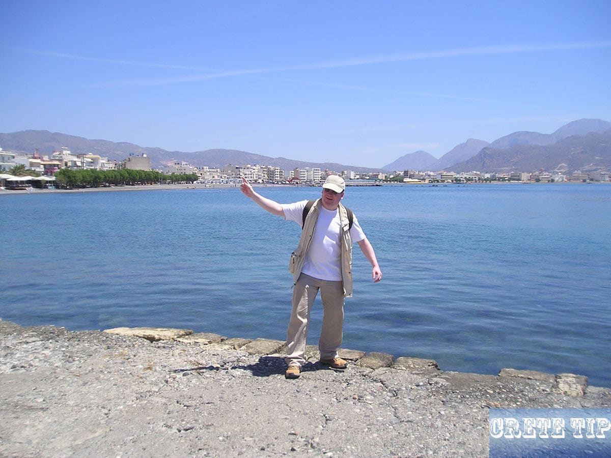
Ierapetra, the southernmost city in Europe
Table of Contents
To Ierapetra you drive from Aghios Nikolaos through a plain that is intensively planted with olive trees. 5 miles (ca. 8 km) before Ieraperta is the village of Episkopi, the previous seat of the Diocese of Ierapetra and Sitia.
Ierapetra been named as after the nymph of the Libyan Sea, and is among the most remarkable cities in Crete, the 4th greatest in inhabitants and the most southern city in Greece and Europe.
History of Ierapetra
For the duration of ancient times the original city of Koryva or Kurva, rich in mythic traditions, had been on the spot of Ierapetra. Probably the Ketfiu, as the Egyptians called the ancient Cretans, sailed from there to the coasts of Africa.
Afterwards, ancient Ierapytna was populated by Eteocretans and Dorians and its cultural and economic development started following the Tenth century B.C., as is proven by its magnificent remains. Its top time had been throughout the Second century when in 146 B.C. it conquered the mighty opponent Praisos and ruled most of southeastern Crete.
In 66 B.C. the city had been shattered by the Roman legions as the last resistance center on Crete; however had been right away reconstructed and came to its finest levels in the course of the Roman rule. The city reached its peak as it became an important commercial center for North Africa, the Middle East, Italy and Greece in the new province of Cyrenaica, which was formed by the Romans from Crete and Libya.
During this period impressive monuments were erected, such as theaters, amphitheaters, temples, but there are not many remains left of them, except for piles of broken columns capitals and old stones, scattered all over the city, or used to construct other buildings.
From here to our time and the appearance of tourism, the city was in a steady descent.
In 824, it had been again wrecked by the Saracens who renewed it on their own due to its prominent location for their pirate raids off the Barbary Coast.
The citadel we view nowadays had been constructed by Francesco Morosini in 1626 throughout the Venetian rule. However, as the Venetians preferred Sitia on the north-east coast as their administrative center, they paid little attention to the city.
Even among the Turks, the city played only the role of the ‘backyard’ on Crete, and they left behind the mosque and an Ottoman fountain.
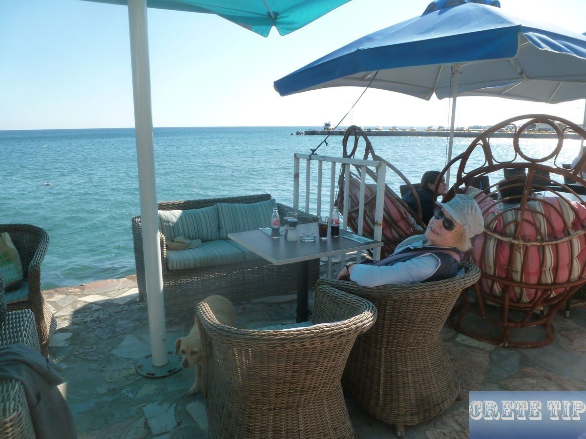
Today, Ierapetra can boast of many things as being the southernmost city of Europe with the most sun hours. But charm is not necessarily part of it, and the tourist does not have to do many things expect to lie in the sun during the day at the long and excellent beaches or to enjoy the stay in the hotels.
Visiting Ierapetra
Archeological Museum
Ierapetras Archeological Museum, located within the previous Turkish school, is inadequately labelled as well as doesn’t require much time to visit, however does feature several high-quality exhibitions. One of the most important ones are plenty of Minoan larnakes, or clay coffins, the best example of which was excavated at neighborhood Episkopi.
Dating from the quite conclusion of the Neo-Palatial period (c.1300 BC), it has amazing decorated panels, one of these shows a mare suckling her foal; various displays enjoy the harassing of the kri-kri, or wild goat, by hunting dogs. Keep an eye out too for a few fascinating Vasiliki ware, such as traditional vases and jugs, plus some potters’ turntables from the early Minoan settlement at Fournou Koryfi.
The Roman and Greek area includes a collection of sculptures, mainly headless simply because early Christians tended to treat the stone craniums as spots where the presence of Satan had been hiding. Yet another new finding, an excellent 2nd century sculpture of Persephone, keeping an ear of corn in her left hand, was able to hold on to her head, which is topped with a little altar encoiled by a pair of serpents, indicating her divinity.
Information: located near Platia Kanoupaki, open Tuesday to Sunday from 8:30 am to 4 pm.
Citadel Kales
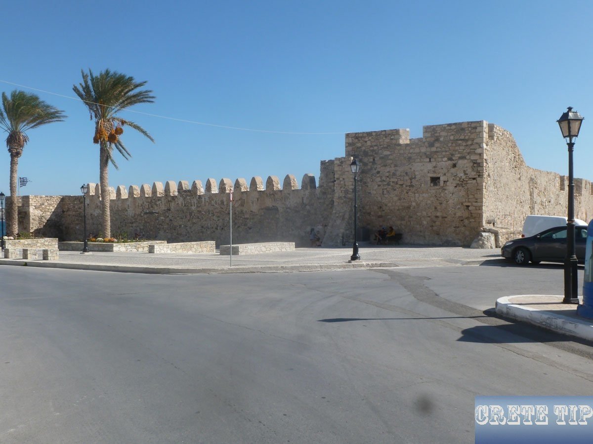
A remodeled citadel called the Kales protects the port. Apparently created by the Genoese pirate Pescatore in 1212, the existing construction is essentially a 17th century Venetian fort, afterwards used as well as revised by the Turks.
Environmental as it is, it’s just a vacant shell, without any signs or anything else.
Information: open Tuesday to Sunday from 8:30 am to 4 pm; Admission free.
Old Quarter

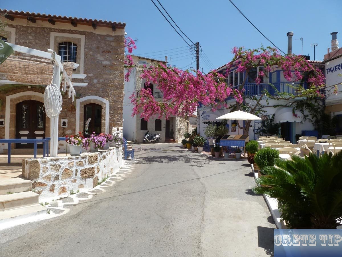
Locations to look for consist of Napoleon’s House, where Napoleon Bonaparte allegedly spent a night in 1798 on the way to Egypt, as well as the twin domed church of Afendis Christos, a 14th century constructing having a great carved and painted wooden iconostasis.
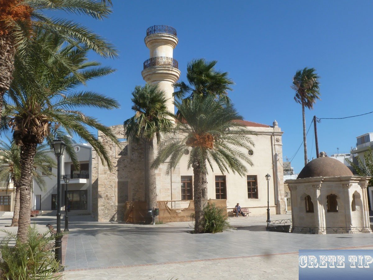
In a tiny square close to an Ottoman fountain, the Tzami, or mosque, has been carefully reconditioned, which had been transformed into a church. It keeps a considerable chunk of its minaret as well as – inside – the initial mihrab.
Beaches around Ierapetra

Noticeably the superior beaches out there from Ierapetra are on Chrissi island, there is however a small community beach front within the center in front of the old quarter, and much more along the coast in both direction, with fine bus services along the main streets to their rear.
The majority of the tourist development is situated to the east, exactly where aptly known as Long Beach, a windswept range of sand (and the wind can definitely blow here) extends almost unbroken for 3 miles from the end of Ierapetra. You will find a lot more fine sand at Koutsonari, simply beyond.

Video about Ierapetra
By car to Ierapetra
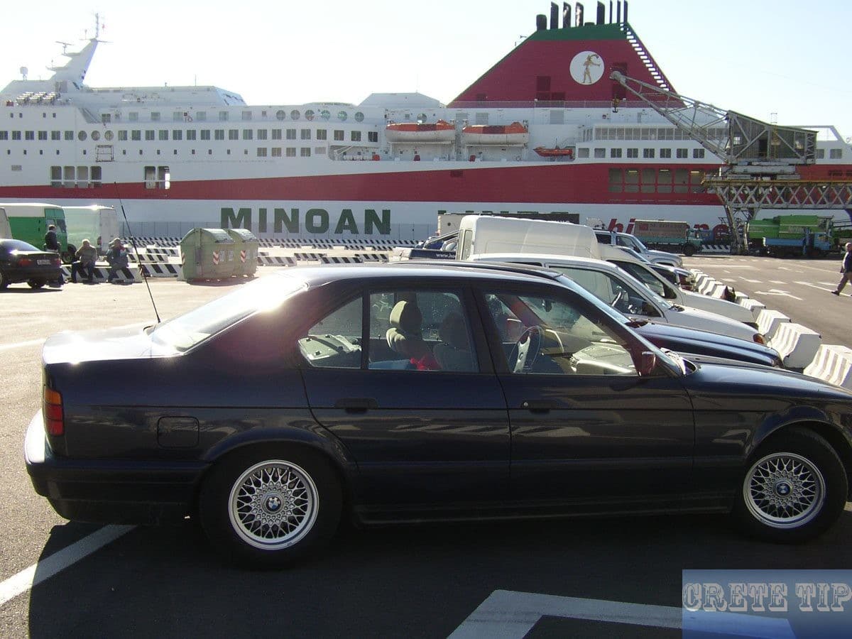
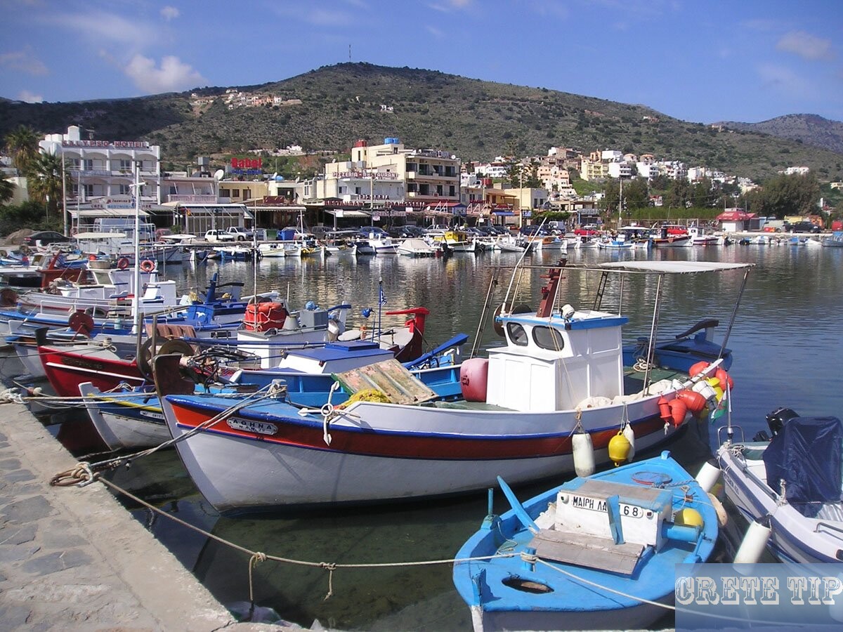
Ierapetra has a distinctive one-way system and usually a lack of parking. The easiest way to solve the problem is to follow the signs to the ‘Archeological Collection’ and from there to the harbor, where there are numerous parking lots.
There is also the Tourist Information Center, which is not always open due to the ubiquitous financial crisis.
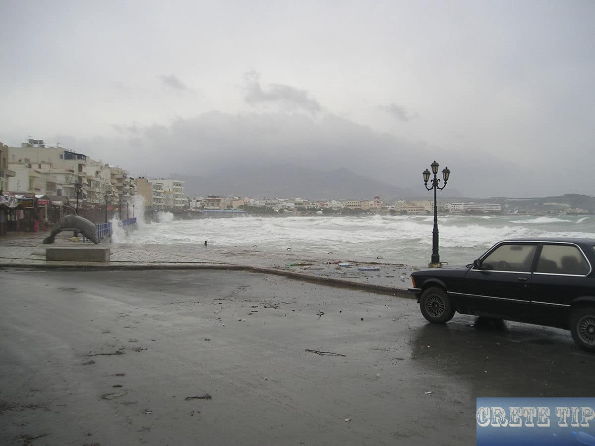
Hotels in and around Ierapetra
Overview of currently available hotels in and around Ierapetra at the best price!
More pics from Ierapetra

East of Ierapetra: Roman Aquariums
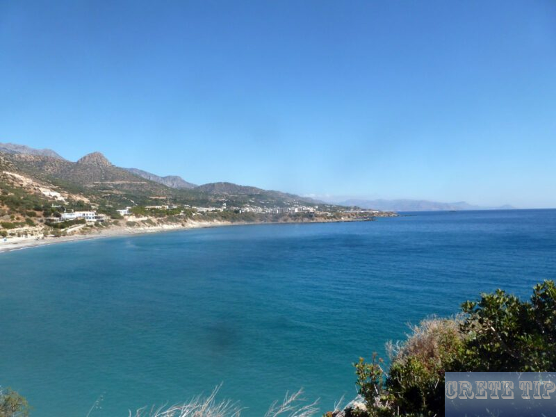
Between Koutsonari and Ferma – about 5 1/2 miles east of Ierapetra – is a sign with the reference ‘Roman Fish Tanks’ in front of the hotel ‘Kakkos Bay’ (right, if you come from Ierapetra).
Take the exit and just behind the back of the hotel head to the right until you reach the cliffs at the hotel apartments. In the cliffs, there are the old fish tanks that were knocked out there and still give the impression as if they were still in use until some time ago.
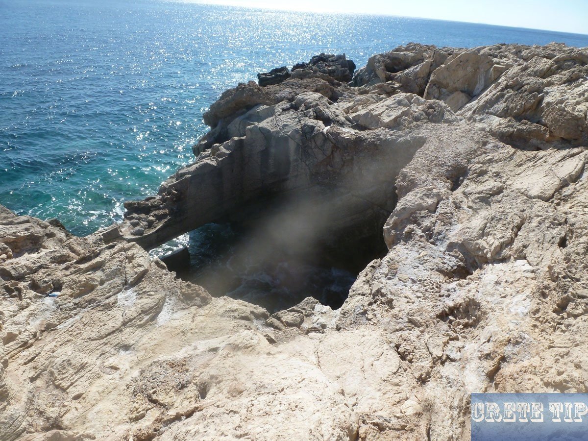
The outstanding Roman fish tank developed out of the rock close to the village of Ferma is some five sq.yd, with the sea even now sloshing through an age-old sluice gate in the bottom. The created steps leading into the fish tank would have been used by the fish dealers to net the fish asked by their clients; the pools within the adjacent stones were no doubt intended for the fish to be sold that particular day, while the younger fish might be fattened up within the bigger fish tank just below.
Chrissi
The favorite method to get away Ierapetras usually stifling summer heat would be to make a boat trip to Gaidhouronisi – Donkey Island, usually best-known in the area as Chrissi – some 6 miles (ca. 10 km) just offshore. A genuine desert isle a bit more than 2 1/2 miles long, having a great cedar forest along with a handful of taverns, Gaidhouronisi offers several superb sandy beaches and enough space to emerge from other people – even though you probably would not wish to miss the vessel back again.
You can even have a full day-time cruise tours to Chrissi Island!
However, the mooring of ships on the island is prohibited since 2022, because the influx of visitors has destroyed the unique nature of the island. Now it is only allowed to swim from the ship to the beach !
More information: Chrissi Island Visitor Guidelines 2024.
There is a marked walking path across the island on which you will definitely notice a number of types of various fauna and flora, in addition to fossils and also the incredible ‘Shell Beach’ covered with discarded shells from endless decades of molluscs, where absolutely no souvenir-collection is permitted.
West of Ierapetra: Myrtos and surroundings
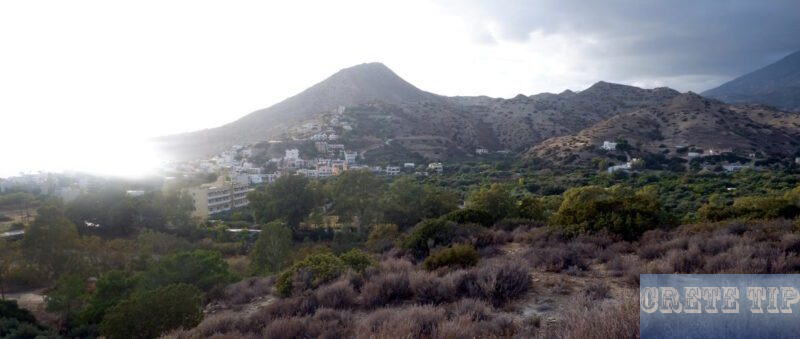
Western side of Ierapetra, in the southern portion of the province, a street goes, following the village of Gra-Lygia, towards the settlement of Stomios, the modern townships of Nea Anatoli, Ammoudares and Neo Myrto as well as the seashore community of Myrtos placed inside a rich natural plain, 10 miles (ca. 16 km) along, decorated along with orange trees, bananas and greenhouses and which is also of archeological attraction.
Myrtos
Drone video of Myrtos and the surrounding area:
Myrtos is a charming coastal village located on the south coast of Crete, approximately 13km west of Ierapetra. This picturesque destination is known for its beautiful beach and tranquil atmosphere.
The village is situated at the mouth of a wide valley, which is filled with greenhouses and citrus groves. The Kryos River flows through this valley, adding to the area’s natural beauty.
Myrtos Beach is one of the main attractions, combining natural beauty with modern amenities. The beach is characterized by a mix of coarse sand and fine pebbles, and its crystal-clear waters make it ideal for swimming and other water activities.
Visitors to Myrtos can enjoy a range of activities, including swimming, sunbathing, fishing, and hiking. The beach also offers amenities such as sun loungers for those who want to relax and soak up the Mediterranean sun.
The village itself retains a traditional charm while offering modern conveniences, making it an attractive destination for those seeking a peaceful getaway on the southern coast of Crete.
Pyrgos Myrtos

Pyrgos Myrtos is a significant archaeological site of the Minoan civilization located near the village of Myrtos. This Bronze Age settlement offers valuable insights into Minoan culture and architecture outside of the major palace centers.
The site consists of several key features:
Minoan Settlement: Pyrgos was an important Minoan settlement that flourished during the Bronze Age. It provides archaeologists with a unique perspective on provincial Minoan life.
Country House/Villa: During the Late Minoan I period (Pyrgos IV), a significant structure was built on the hilltop. This building is often referred to as a “country house” or “villa” and represents an important example of Minoan architectural design outside the major urban centers.
Long History: The settlement at Pyrgos has a long history, with evidence of occupation spanning multiple periods of Minoan civilization.
Archaeological Findings: The site has yielded various artifacts that provide insights into Minoan culture. These include seals, seal impressions on clay vessels, and other multimedia objects that help archaeologists understand daily life, trade, and artistic practices of the Minoans.
Strategic Location: Pyrgos is situated on a low hill overlooking the east bank of the river, providing both natural defense and access to agricultural land.
The Pyrgos Myrtos site is particularly valuable for its provincial perspective, offering insights into Minoan life outside the immediate hinterland of major centers. This makes it an important location for understanding the broader context of Minoan civilization across Crete.
More photo of Pyrgos Myrtos:


Fournou Koryfi
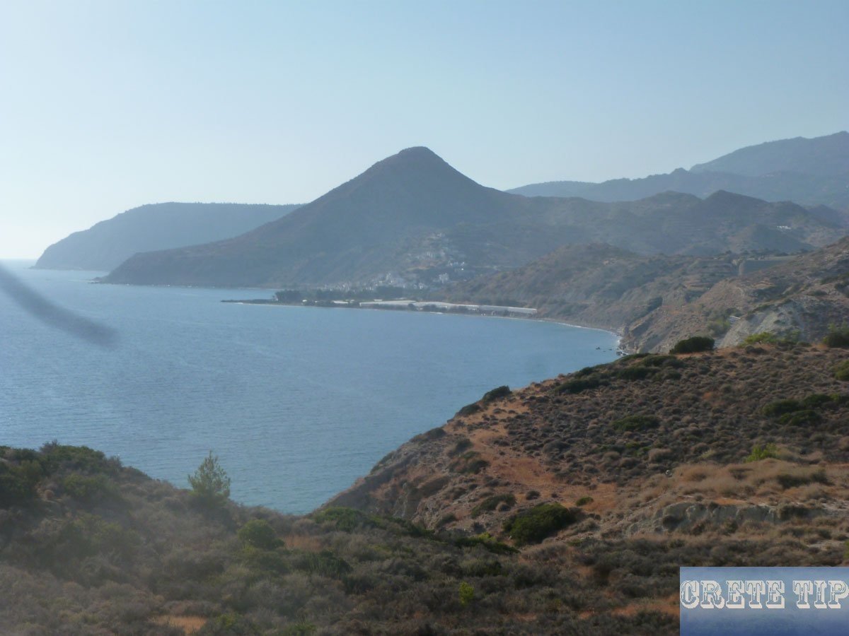
Fournou Korifi is an important Early Minoan settlement located on the island of Crete, Greece. This archaeological site provides valuable insights into the early stages of Minoan civilization.
OVERVIEW
Location: The site is situated on the top and upper slopes of a steep hill overlooking the Libyan Sea, near the modern village of Myrtos.
Time Period: Fournou Korifi represents an Early Minoan settlement, dating back to the first phase of Minoan civilization, before the construction of the great palaces.
Architecture: The settlement consists of a complex of small rooms and narrow passages, typical of early Minoan architecture. These structures were built close together, creating a dense, urban-like environment.
Strategic Position: Perched atop a hill with a view of the Libyan Sea, the site’s location provided natural defenses and likely served as a lookout point.
Archaeological Significance: Fournou Korifi is considered extremely important for understanding Early Minoan society. It offers a glimpse into the daily life, social organization, and economic activities of the early Minoans.
Discoveries: Excavations at the site have yielded various artifacts, including pottery, tools, and evidence of early crafts, providing valuable information about the material culture of the period.
Layout: The settlement’s layout suggests a communal living arrangement, with shared spaces and facilities, indicating a well-organized social structure even in this early period.
Preservation: While the site has been affected by erosion and time, significant portions of the settlement remain visible, allowing archaeologists to study its layout and construction techniques.
Fournou Korifi stands as a testament to the early Minoan civilization, offering researchers and visitors alike a unique window into the origins of one of the most fascinating cultures of the ancient Mediterranean world.
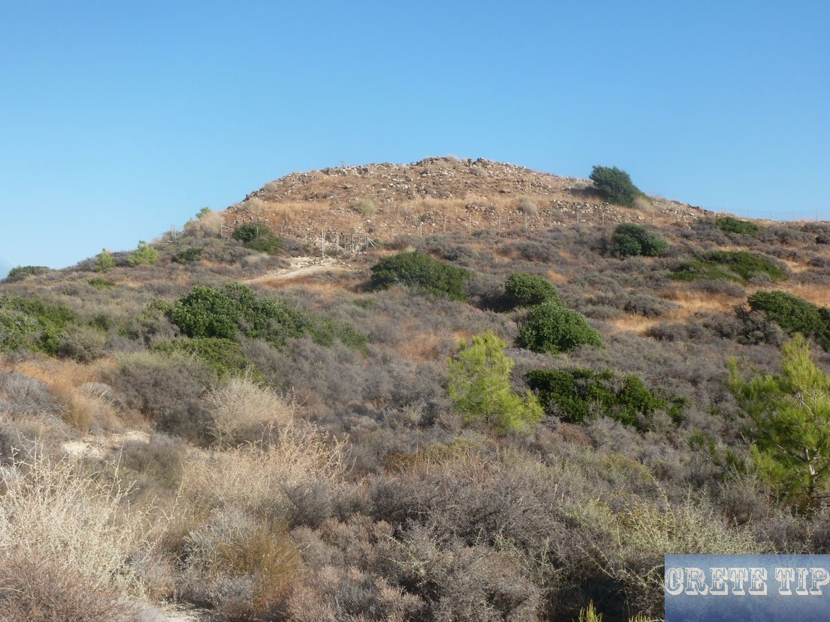
A few kilometers west of Neo Myrtos, Kiln Hill is located right by the sea. Here, above the coastal road, is Fournou Koryfi, a Minoan settlement that was uncovered by British archaeologists in the 1960s. The ascent from the road, where you can easily stop nearby, is short but steep and not easy to walk.
The somewhat confusing excavations uncovered a settlement of stone houses with almost one hundred rooms spread over the hill. It is probably typical for numerous other settlements on the coast of eastern Crete in the early pre-palatial period (c.2,500 BC).
In addition to stone and copper tools, carved seals and over seven hundred ceramic vessels have been found in the rooms. Some of these were jugs of the Vasiliki type and many of them were undoubtedly used to store the products of the surrounding lands, which were less dried out than they are today.
In a room in the southwest corner of the site was the oldest known Minoan house shrine, where the most important discovery of this excavation site was found. It is the Goddess of Myrtos, a clay idol with a stalked neck carrying a water jug. The figure is now in the Museum of Aghios Nikolaos, together with most of the other finds from this site and from nearby Pyrgos (a little further west, to the right before the bridge in front of Myrtos on the hill).
Around the goddess, broken offering vessels were found scattered on the ground, many of which were charred by the fire that destroyed the village around 2,200 BC. The mystery of the fire, which does not seem to leave any victims and does not seem to result in reconstruction, is another of the unsolved questions of the Minoan culture.
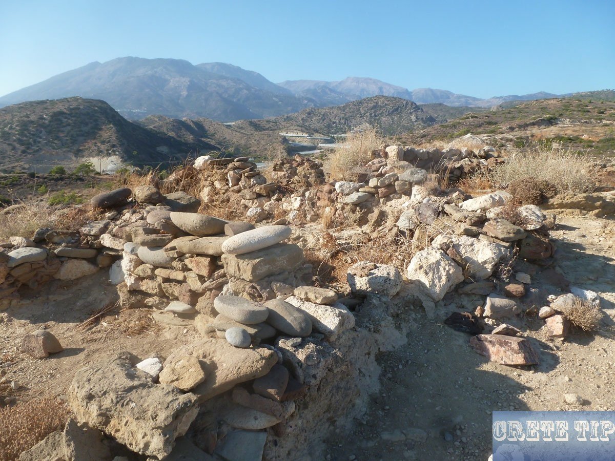
Directions to Ierapetra
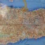
Click here: Directions Ierapetra.
Plot in Ierapetra
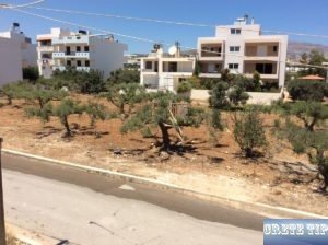
There is a plot for sale in Ierapetra.

