Trip to Lasithi Plateau.
Directions with map, information, pictures and video about the plateau, Diktaion (Psychros, Zeus) Cave, Kronio Cave, town ruins of Karfi, monastery Vidani.
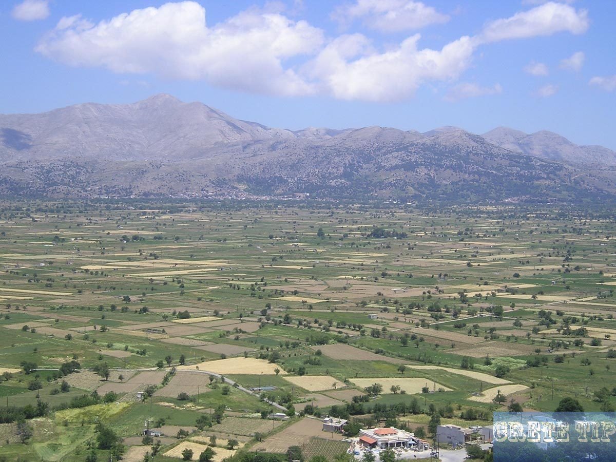
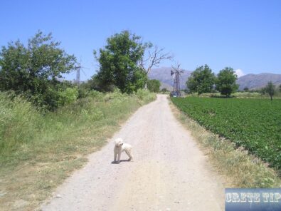
Trips on the plateau are also offered by bus, where the view of the white, covered with canvas windmills are promised. In fact, there are only a few of these traditional windmills left that operate for a limited time or are located next to taverns as a tourist attraction. Nevertheless, a trip to the Lasithi plateau is definitely recommended.
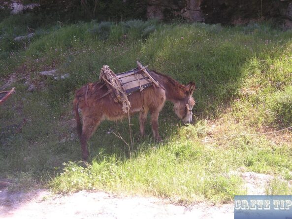
And if you even stay overnight, you will be able to enjoy the tranquility of the plateau during this time. The wake-up call in bed is done here by donkeys, cocks or the ringing of a neighboring church bell.
Lasithi Plateau
Table of Contents
For the winter here are hard and 20 inch (ca. 51 cm) snow depth is not uncommon. Also, at the beginning and at the end of the season you should have warm clothes, as the nights up here can be very cold. To get an idea of the harsher climatic conditions up here, look at the video available at the end of this article.
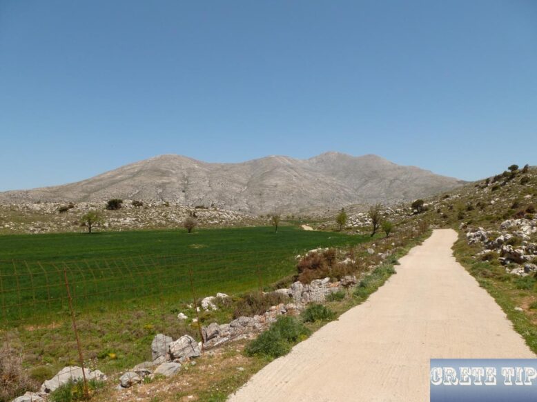
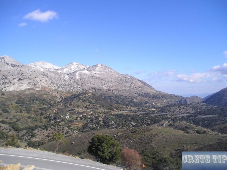
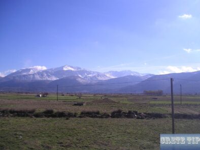
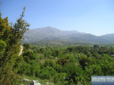
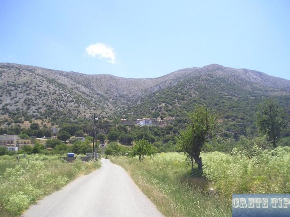
In the spring, the green areas, pastures and orchards, together with the wildflowers and the remaining snow on the peaks, give the impression of an alpine landscape.
At 5.2 miles (8.6 km) on the old route from Aghios Nikolaos to Heraklion a turn-off left goes to the Lasithi plateau. We move through the Krasi valley. At 7.25 miles (12 km) there exists a Junction with the street which comes from Neapoli. We make the left branch to the plateau. Right after one kilometer the street starts to twist and switch the way up the hills of the mountains. As the road is not too wide we must have attention for oncoming vehicles, mostly with ignorant tourists especially in high season.
But there are also bus or even Land Rover Safari Tours to the Lasithi plateau available, if one don’t want drive by own or don’t have a rental car.
After 10 miles (16 km) are the villages of Kato and Pano Amygdali.
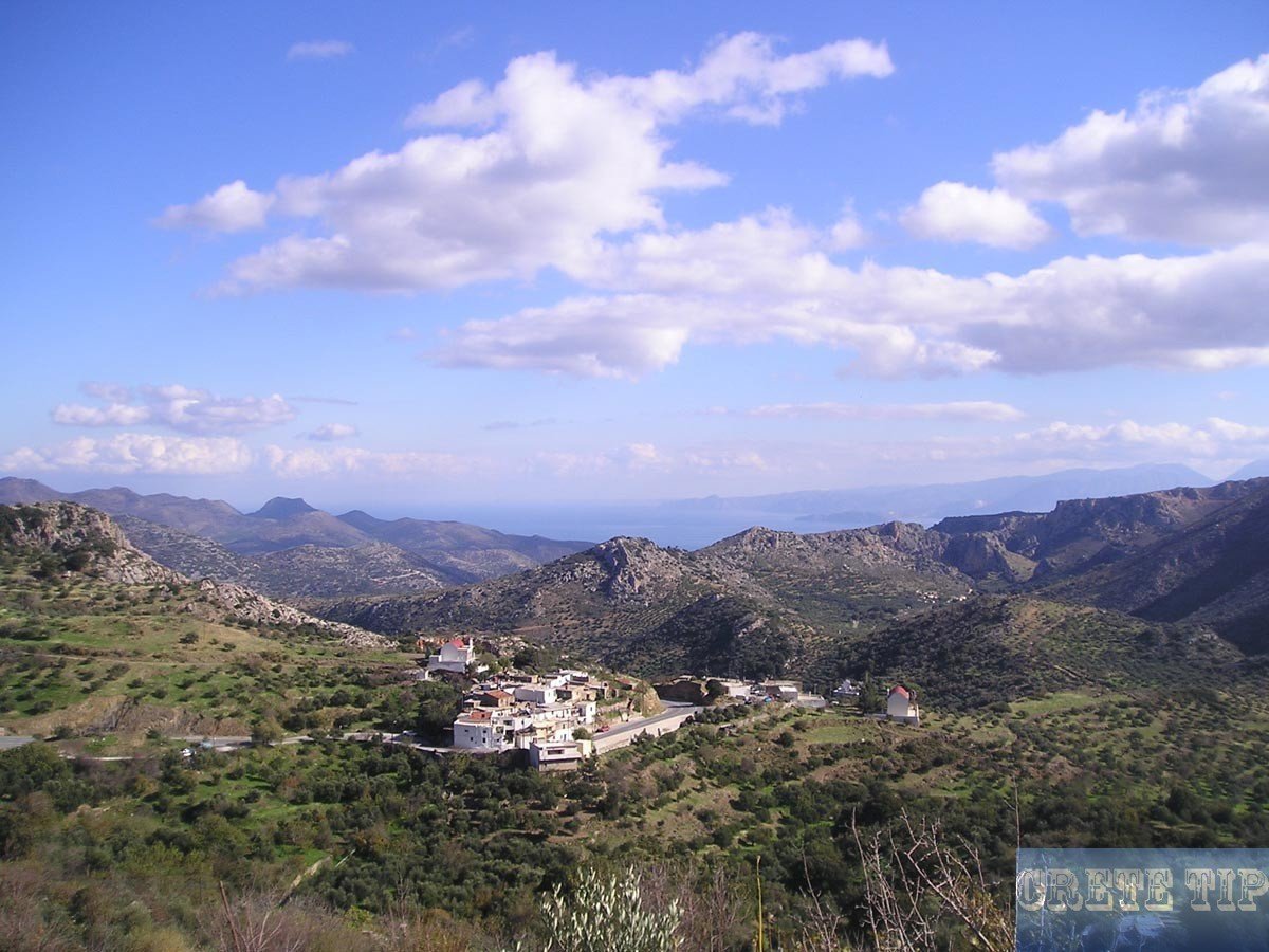
After a total of 14 miles (23 km) are the boundaries of the provinces of Merabellou Lasithiou at the site Katakalou. This is an intense landscape where to our right are tone-built mills and to our left deep valley by which a torrent runs and just after Mount Aloida, 1,664 meters high. At 15 miles (25km) is the village of Exo Potami inside a rich green valley of plane, wild walnut, apple and cypress trees.
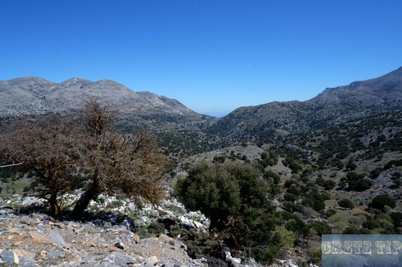
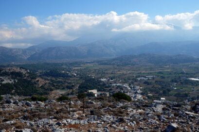
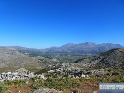
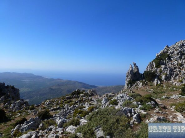
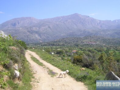
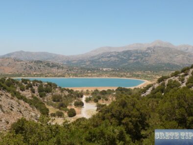
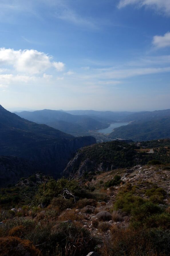
After 20 miles (33 km) arrive at the highest point of our trip on top of the pass Patera ta Selia (height 1,100 meters) having a breath-taking viewpoint. At the rear of you is the wilderness, wide valley of Potami while before be spread out the Lasithi plateau in most of its elegance with its countless windmills and its villages.
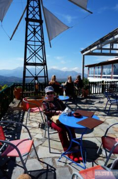
There is also a pleasant family taverna here, from where you have a beautiful view over the eastern part of the Lassithi plateau and the landlord is also happy to provide you with a photo album of wonderful winter pictures of the completely snow-covered landscape.
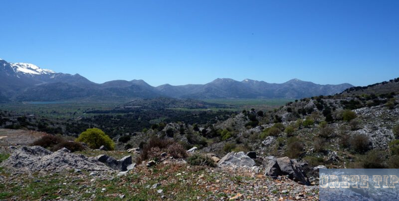
After 20 miles (36 km) comes the first village of the plateau, Mesa Lasithi. In the center of the village, near the church, a streets goes to Psychros, 5 miles (eight kilometers) away. Right now there we have arrived at the plateau’s ring road. I will describe the plateau moving right until we return to the starting point.
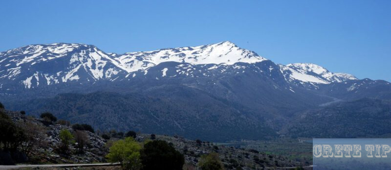
Kronos Cave
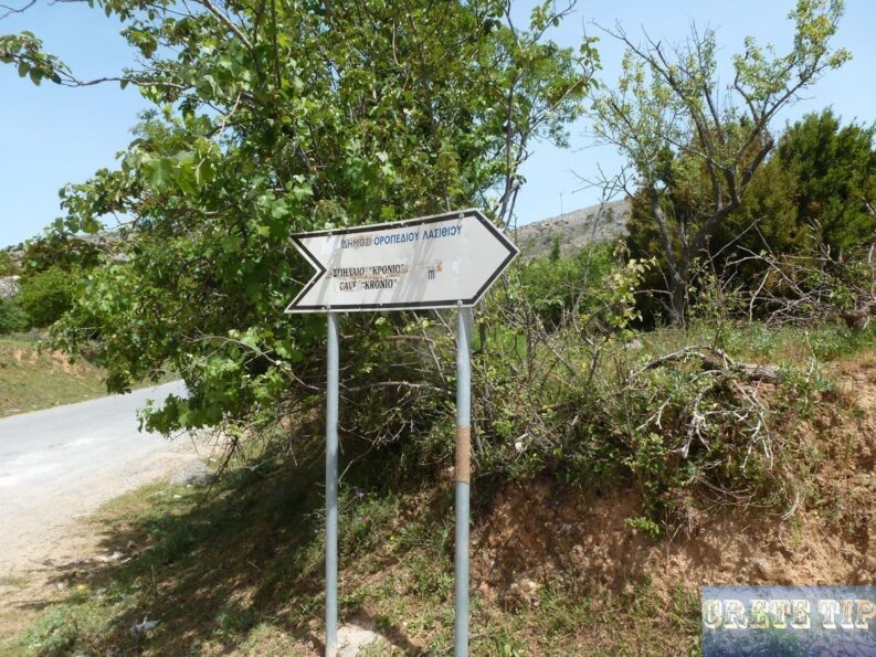
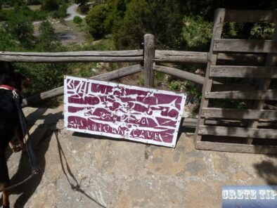
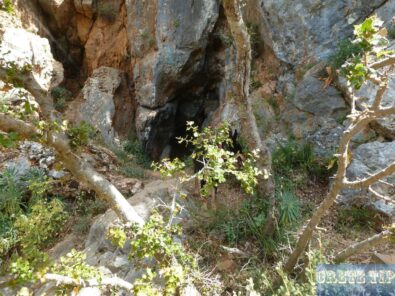
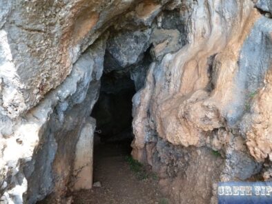
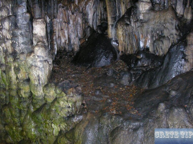
At 23.5 miles (39km), following the village of Marmaketo, a turn-off right goes after 1.25 miles (two kilometers) to the Trapeza (or Cronos, Kronio) Cave, the most historical spiritual cave on the plateau. It had been populated over a long period, from the Neolithic to the Prepalatial period, 2600 B.C. Toward the end of the first phase of the Protopalatial period the cave was abandoned and its position was taken by the Diktaion Cave. From the excavations that were completed in 1936 a host of votive offerings, normal offerings, figurines and ceramics were found.
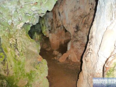
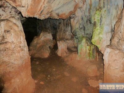
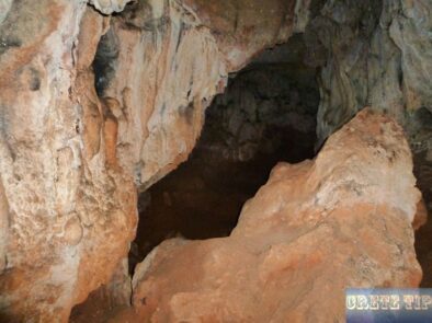
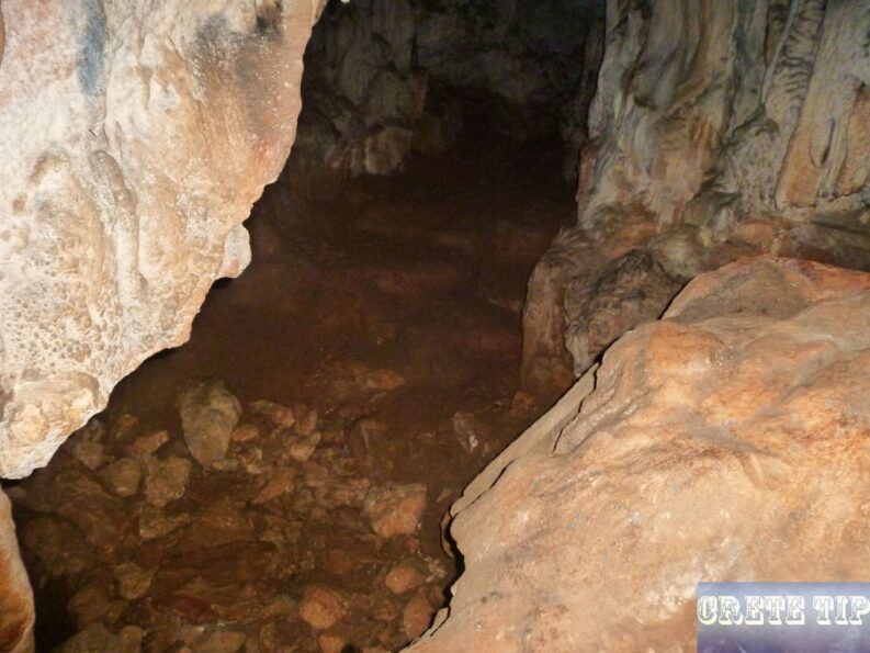
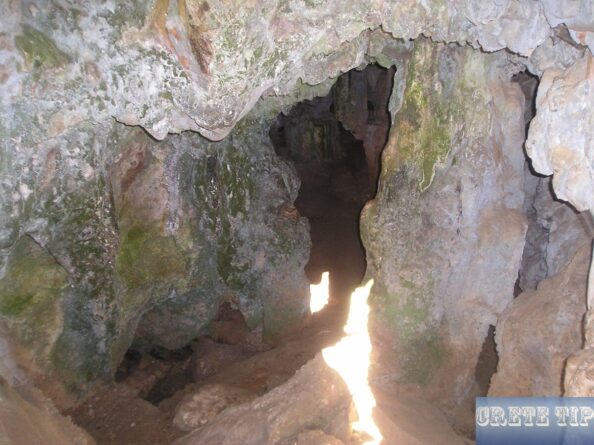
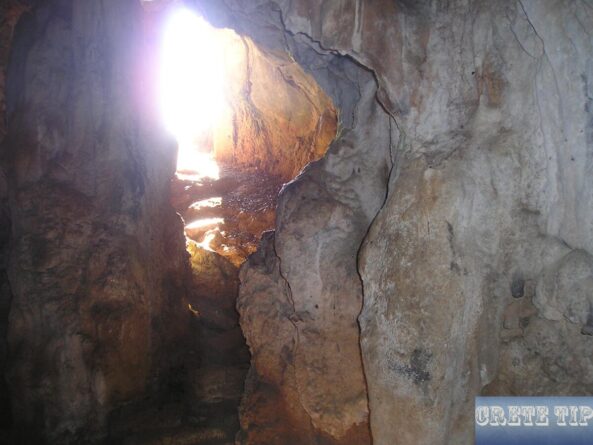
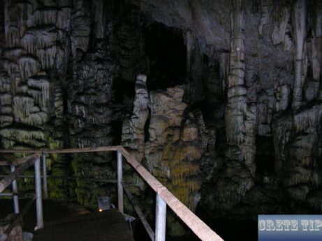
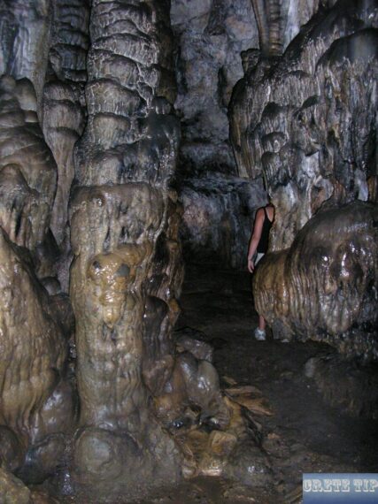
Inside the Kronos Cave, referred to by archeologists as Evans, Penlebury or Trapeza, found remains and tombs back to Neolithic periods. However, the cave is compact, ground is slippery and dangerous, so a guide and flashlight is recommended: in any case it assists to acquire somebody explains the old toms. In Minoan days local burials happened here, and lots of funerary offerings were found.
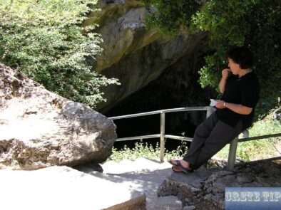
Currently, access is unfortunately in poor and unkempt condition, as you can see on the photos.
After 24 miles (39.5 km) we are arriving in the large town of Tzermiados, the capital of the region and one of the least touristy places. In the center there are shops like fifty years ago, especially with embroidery and local weaving crafts. There is also a post office and a bank with a cash machine, next to an excellent old-style bakery, several kafenias and good tavernas.
Vases from the Neopalatial period were found in the town as well as in a cave in the neighborhood of Argoulia potsherds from the Neolithic period while burials from the same period were found in another cave at the site Skafida.
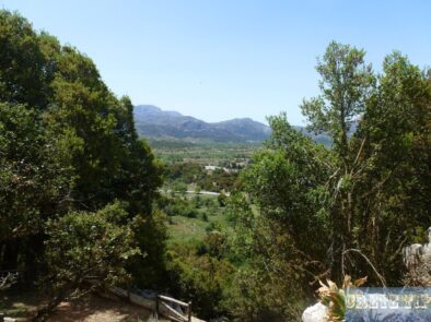
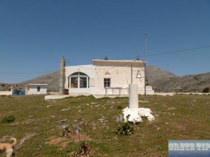
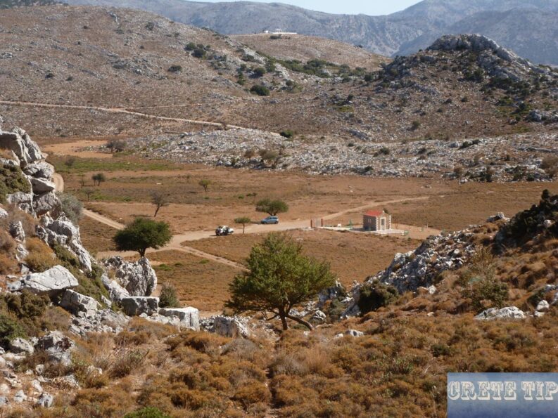
From here you can also reach a beautiful vantage point in a small, fenced chapel above Tzermiados via a side valley situated behind the village and from there to Karfi (see next section). The Kronos Cave is also easily accessible from the village.
Drone above Tzermiado:
Karfi
Next the village of Lagou. A junction at 27 miles (43 km), the right branch going to the height of Seli after 1 1/2 miles (2 1/2 km), where the ruins of a village from the Postpalatial period are situated around the nearby hill of Karfi. The street proceeds along the massive sides of the Lasithi mountains in direction of the Prefecture of Heraklion as well as right down to Malia.
more about: Karfi
The remaining branch is the continuation of the plateau’s ring road. After 24 miles (40 km) we are arriving at the Monastery of Zoodochos Pigi or Vidiani.
Monastery Vidani
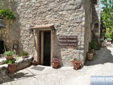
The monastery of Vidani is situated at the root of Mount Louloudaki, close to the village of Kato Metohi in the Lasithi Plateau. The monastery is well at hand.
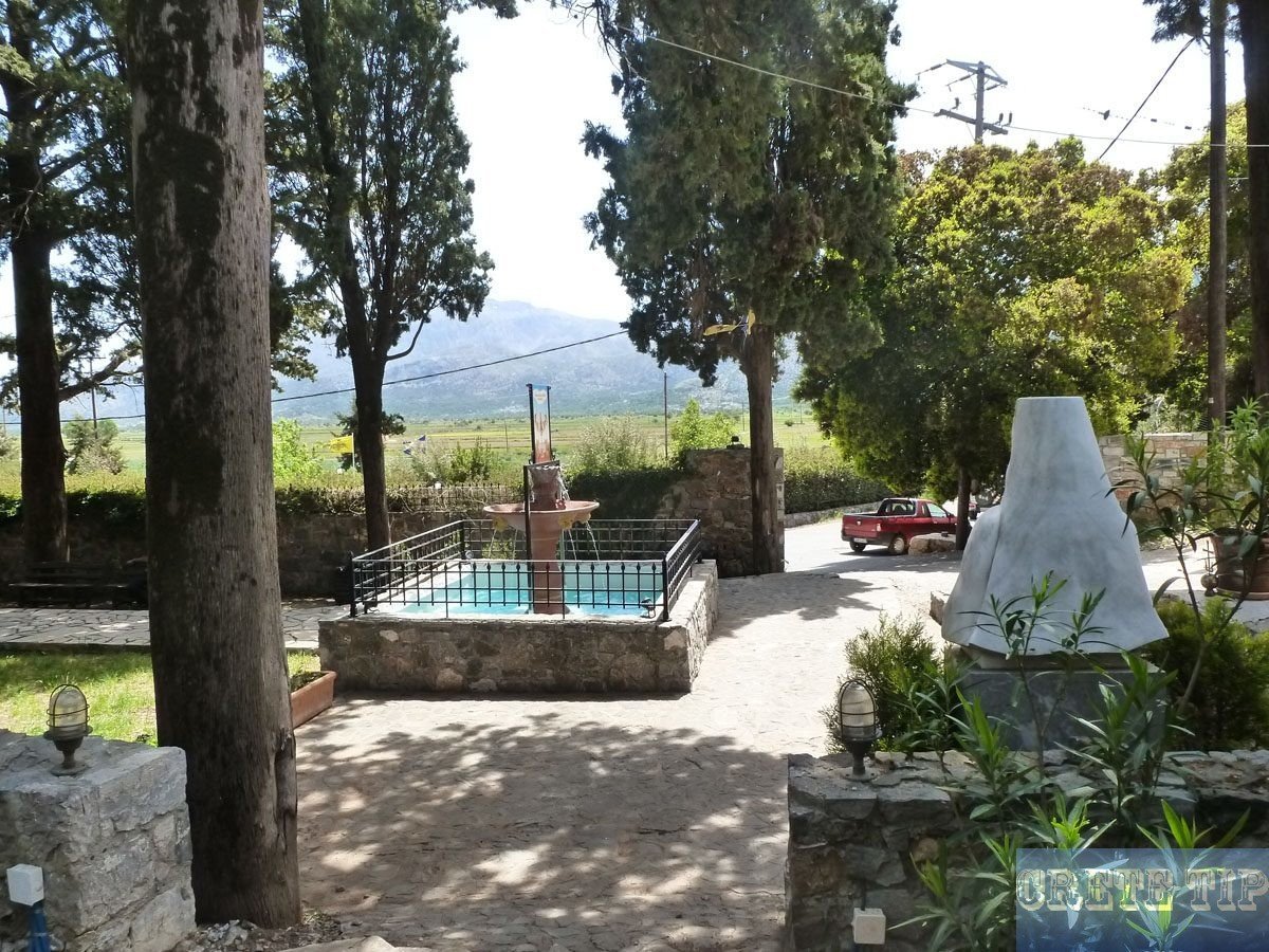
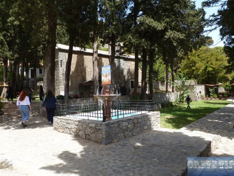
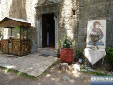
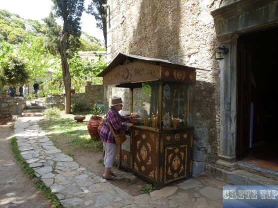
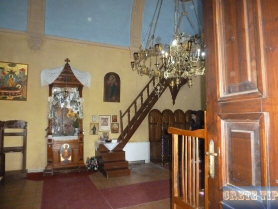
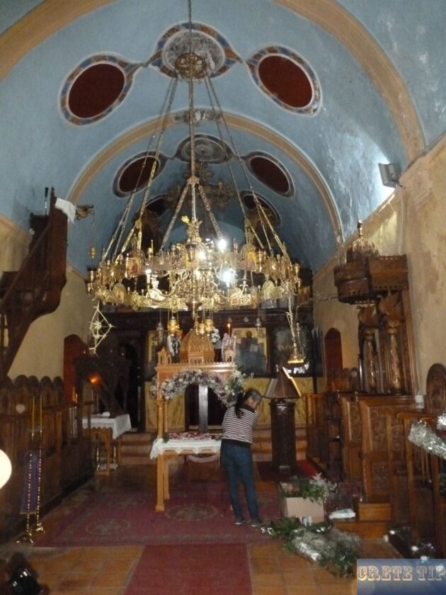
The basilica church is devoted to the Life-giving Spring (Zodoho pigi). The cells along with other areas of the monastery building have been recovered and it today functions as a male monastery.
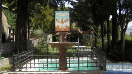
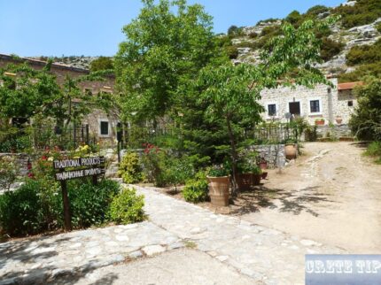
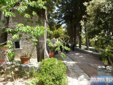
Flower beds give a fantastic environment throughout the summer, while the fountain that also is a symbol of the Life-giving Spring, is situated in the middle of the Cypress tree garden and the typical tiny café. A compact natural history museum exists inside the monastery walls in co-operation with the University of Crete.
Quick background:
- 1841: Methodios Petrakis constructs the monastery of the Life-giving Spring, most likely on the ruins of an earlier monastery.
- 1867: During the struggle and devastation of Lasithi, Pashas Omar, wrecked and burned down all communities on the plateau along with the monasteries of Vidani and Krystalenias.
- 1874: The monastery had been renewed soon after the devastation.
- 1884: The abbot of Vidani monastery, Methodius Perakis, acquires the deserted monastery of Kallergis from the Muslim Salicha Liatikopoula or Xeschizopoula, who had been owning the property in which the monastery had been established on.
- 1943: German soldiers catch and shoot the abbot of Vidiani, Dorotheos Tsangarakis, in St. Chanion, as a consequence of his work in the resistance during WW2.
- 1959: The last abbot of Vidiani dies and the monastery is abandoned for a long time.
- 1991: A program for the restoration of the monastery takes place; it extends to its peak ten years afterwards in the hands of the monk Dorotheos Kaftaki. The Natural History Museum was also established.
After one more Kilometer the ‘funnel’, a swallow gap by which the water on the plateau drains away. There you can follow a dirt road which branches off in western direction to the E4 Lasithi hiking path with a stunning panoramic view.
This is followed by the villages of Kato Metochi, Plati and afterwards Psychros at 28 miles (46 km).
Psychros cave
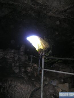
This place has been well-known since ancient times all through almost all Minoan Crete being a holy site because of the cave which is situated 150 meters higher than the village at an altitude of 1,025 meters. Psychros cave or the Diktaion Andron on the northwest slopes of the peak Toumbas Moutsouna, is the cradle of the faith of the ancient Greeks for according to mythology Rhea gave birth to Zeus at this place.
According to the legend, Zeus’ father, Kronos, was warned that he would be driven out of the throne by one of his sons. That’s why he ate up all his male offspring. In the case of Zeus, however, Rhea gave Kronos a stone to eat and secretly left the newborn in the cave, protected by the Kouretes, demons who set up their signs outside to hide screams. From here, Zeus arrived at the Idean Cave on Psiloritis, where he spent his youth.
There are variants of this myth, but it is indisputable that the cave was a place of worship since the time of the Minoans. Inside the cave were discovered numerous brown figures of worshiping males and females, many other votive products, double axes and tables of offering which prove the holy character of the cave. The youngest finds date back to the classical Hellenistic era.
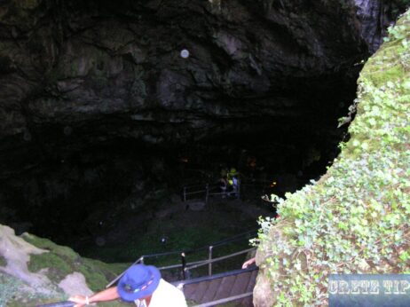
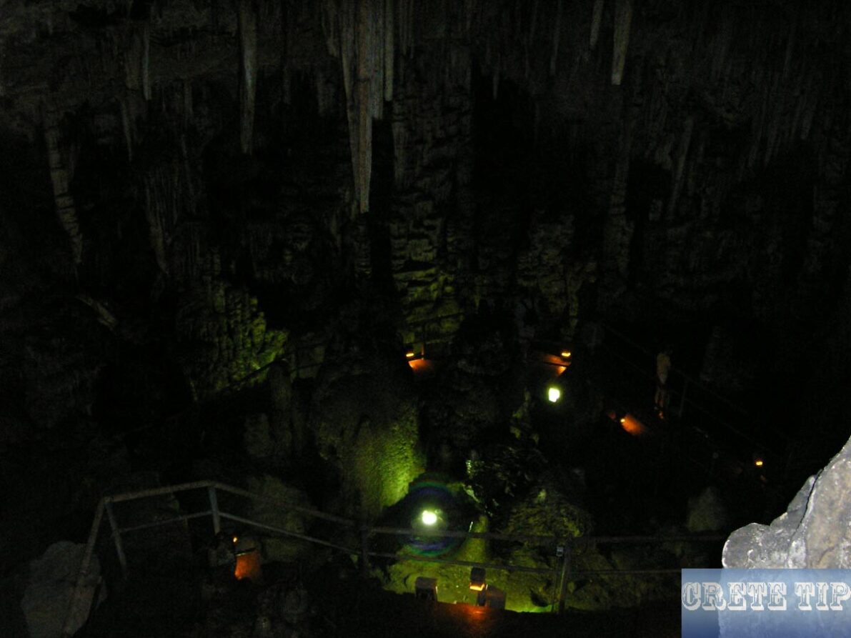
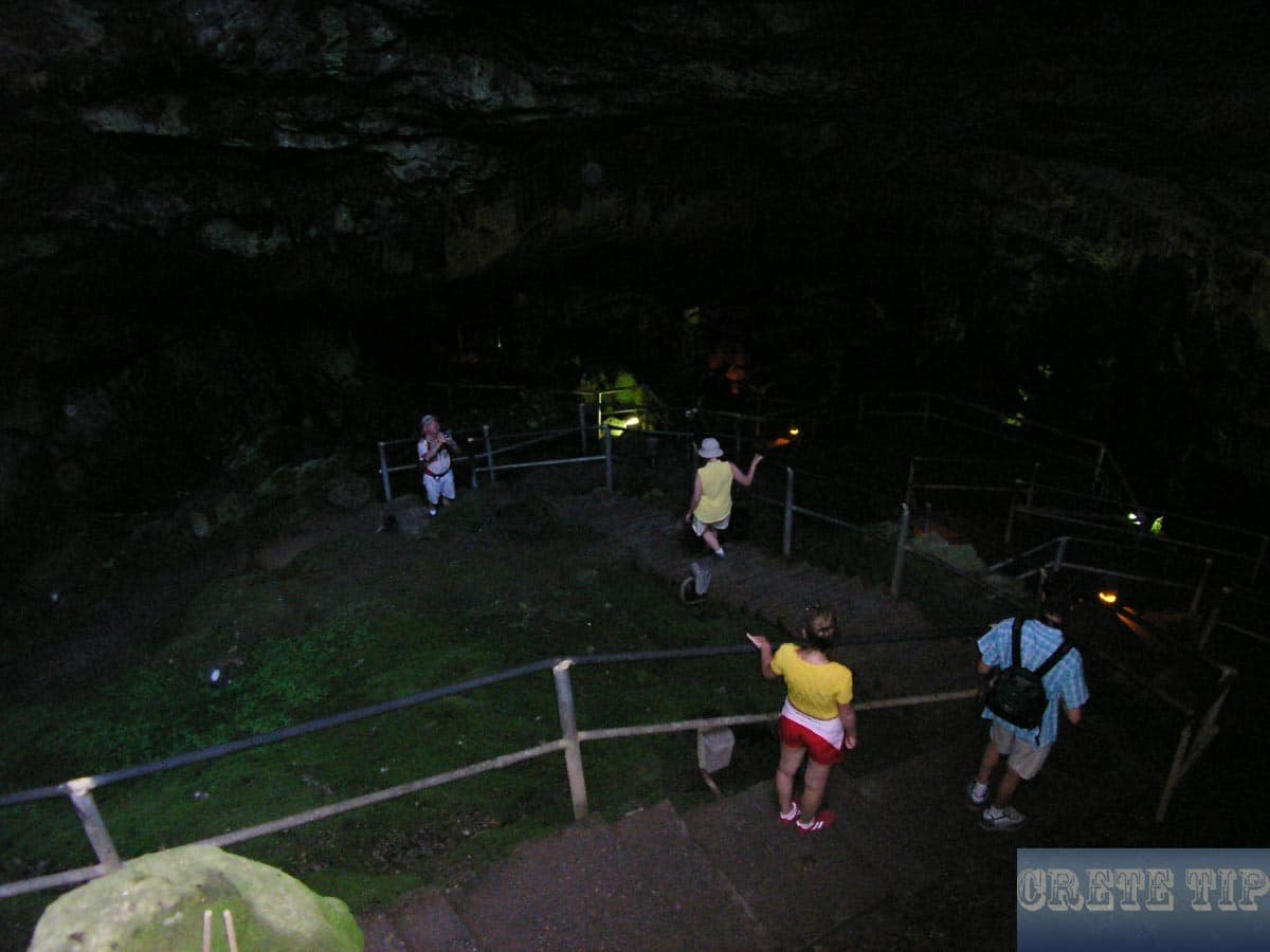
Today, concrete steps and electric lights make it easy to visit the cave, even if it has lost its magical and mystical flair.
The steps descend in a circle and go over the bottom of the cave, where there is an artificial lake. Most impressive is the view from there to the top of the cave, from where the colorful light and the humid air strikes is entering.
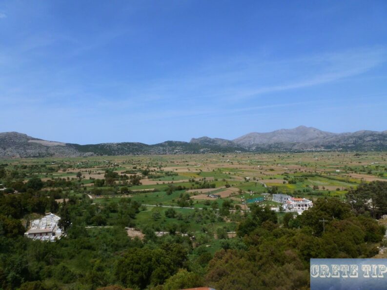
The Diktaion or Psychros Cave is open from April to October from 8am to 7pm (admission € 4) and also from November to March, but only between 8:30 and 3pm. In high season, the visit is recommended before the arrival of the first tourist buses at about 11:30 am or later, after 5 pm.
We continue on your trip and after moving through the villages of Magoulas, Avrakontes, Ayios Georgios (Folklore Museum in an old, traditional farmhouse) and Ayios Konstantinos we’re arriving at 37 miles (59 km) the Kroustalenia Monastery; and close the imposing melt water collection basins.
Video from Lasithi Plateau
Video (2 min 40 sec) of the Lasithi Plateau:
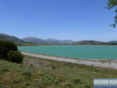
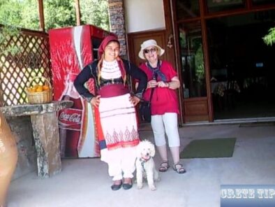
Driveway and view towards the Gulf of Mirabello – Pass Selia – water reservoir – View from Kronos Cave – side valley and plateau with low clouds in the winter – Traditional dress – E4 walking and hiking path – return across the height of Seli
More pictures from Lasithi Plateau
Directions to Lasithi Plateau
 Link to map with directions:
Click here: Directions to Lasithi Plateau.


